South Florida Faces Extended Stormy Weather Pattern, Tropical Activity Monitored
South Florida is bracing for a stormy period extending through at least the middle of next week, with high chances of scattered to numerous storms daily. The weather pattern is influenced by daytime heating, an developing upper-level low, and passing…
 Miami Fort Lauderdale, FL, August 26, 2026 —
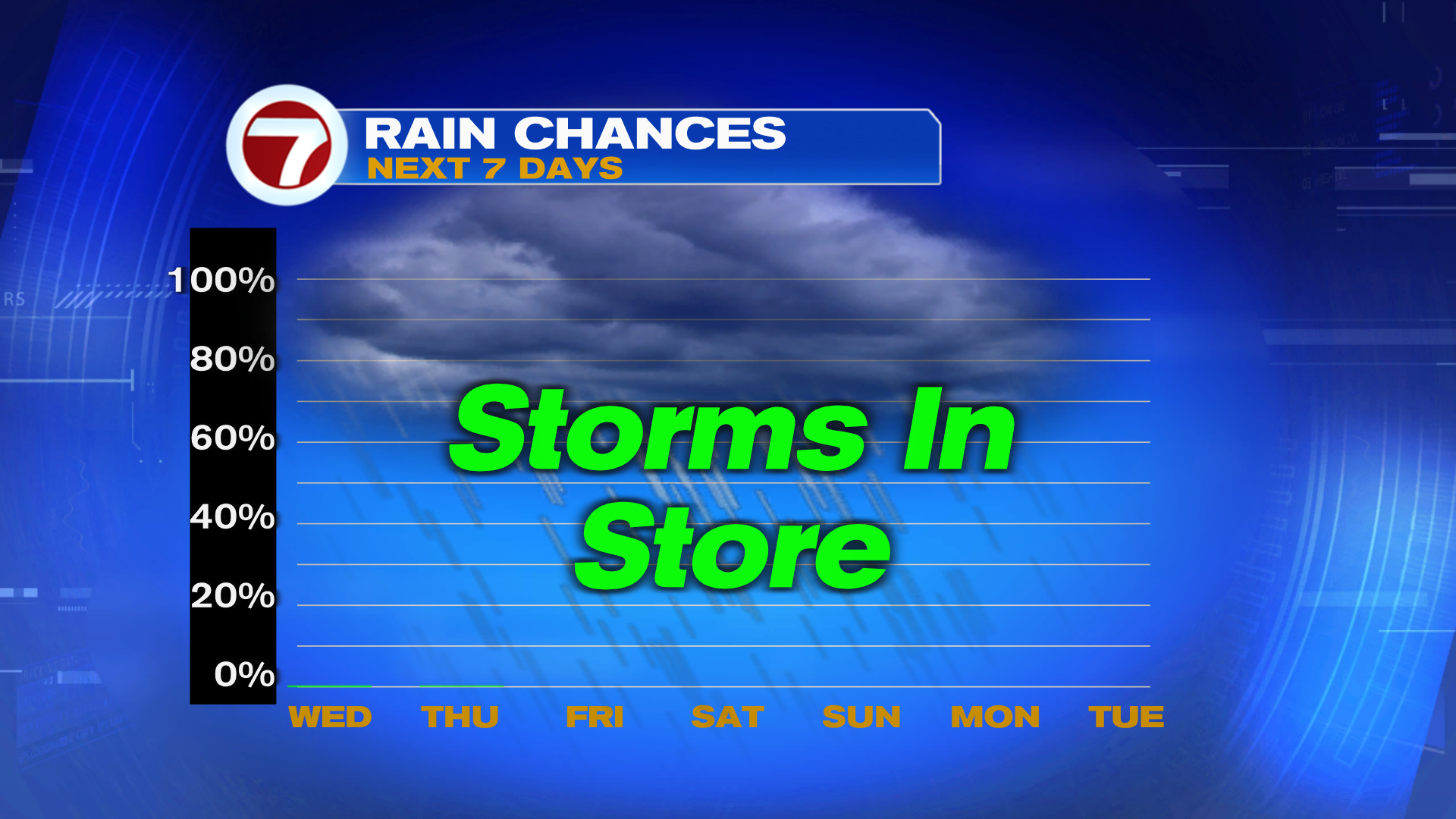
South Florida is preparing for a prolonged period of unsettled weather, with forecasts indicating a high likelihood of scattered to numerous storms each day through at least the middle of next week.
The current weather pattern is attributed to a combination of factors. Daytime heating is contributing to convective activity, while an developing upper-level low pressure system and the passage of tropical waves are also influencing the atmospheric conditions. These elements are expected to produce heavy downpours, raising concerns about potential flash flooding across the region.
In addition to the local weather system, forecasters are closely monitoring a tropical wave located in the Central Atlantic, designated as Invest 96L. While this system is being watched for potential development, current projections suggest that strong wind shear is likely to impede its progress and disrupt its organization before it reaches the Caribbean.
However, there is a possibility that Invest 96L could encounter more favorable atmospheric conditions as it approaches the Bahamas early next week. Further monitoring will be necessary to assess any potential impacts on the region.
Residents are advised to stay informed about weather updates as the situation evolves. The combination of local atmospheric instability and the potential trajectory of tropical systems necessitates vigilance regarding the weather outlook for the coming days.
Story summarized from the original created by Dylan Federico on wsvn.com, see more information here.
Media gallery